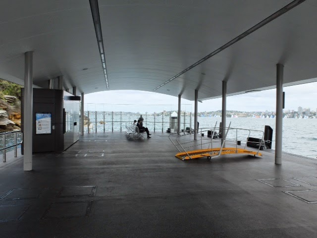
At first blush, the State Government’s plan to build a new ferry terminal at the currently wharfless Rhodes sounds like a great plan. The population density is high and growing, the area is an employment hub for over 10,000, and it’s a major destination for shoppers. And it would be just one extra stop on the existing F3 line between Meadowbank and Sydney Olympic Park.
What could go wrong?
Quite a bit actually, especially if the impact on other passengers using the F3 line is taken into account. 
Rhodes is a peninsular suburb, sandwiched between Homebush Bay to the west and Bray’s Bay to the east. The current plan is to locate the wharf at Mill Park on the northern tip. This is a fair hike from the Rhodes train station (840 metres) and 1.2 km from the entry to the retail centre, Rhodes Waterside.
So why not build the wharf at Bray’s Bay, or on the Homebush Bay side of the peninsular? There could be good connectivity with the train and better access to the commercial area. Unfortunately, neither of these sites are realistic because the water is too shallow. Dredging is not an option because of the cost and toxic waste still remaining from the area’s industrial past.
Even if it was possible to locate a wharf closer to Rhodes station,
the need for vessels to divert into the maritime equivalent of a cul de sac
would add significantly to transit times for passengers travelling from Sydney
Olympic Park, Rydalmere or Parramatta.
This means a new wharf must be located in the main channel
of the Parramatta River.
Okay, why not go with the RMS plan then and position the wharf
at Mill Park? The resident population of this Travel Zone will be nearly 6,000
by 2021. Currently 34% of the working
population work in the Sydney CBD, so the commuter peak demand case seems
convincing.
Regrettably, there are two significant problems with Mill
Park:
-
Mill Park is almost directly opposite the existing Meadowbank wharf. Meadowbank is on the north side of the river, just east of the railway bridge. Mill Park is just west of the bridge on the south side. The line of approach for vessels between the two points will be very awkward, with consequent safety issues. There will again be the problem of a much extended transit time for passengers up river.
- Even at Mill Park the river is shallow, so a long ramp is required to position the wharf pontoon on a navigable channel. It could be nearly a third of the width of the river at this point. This will adversely affect rowers and other users of the southern side of the river, who will find the pontoon and its ramp a difficult barrier to navigate around.
But this of course doesn’t solve the navigation problems for
rowers.
Perhaps there are good reasons why we haven’t
had a public ferry wharf at Rhodes before now. It seems those reasons are
still valid today. They mean the Sydney Ferry network will probably be better
off if Rhodes remains wharfless and the interests of passengers travelling from
Sydney Olympic Park and other locations up river are better protected.